Geomatics


Fun fact: In 1992, the Quebec Ministry of Energy and Resources’ SIGÉOM project was defended at the Treasury Board using our maps!

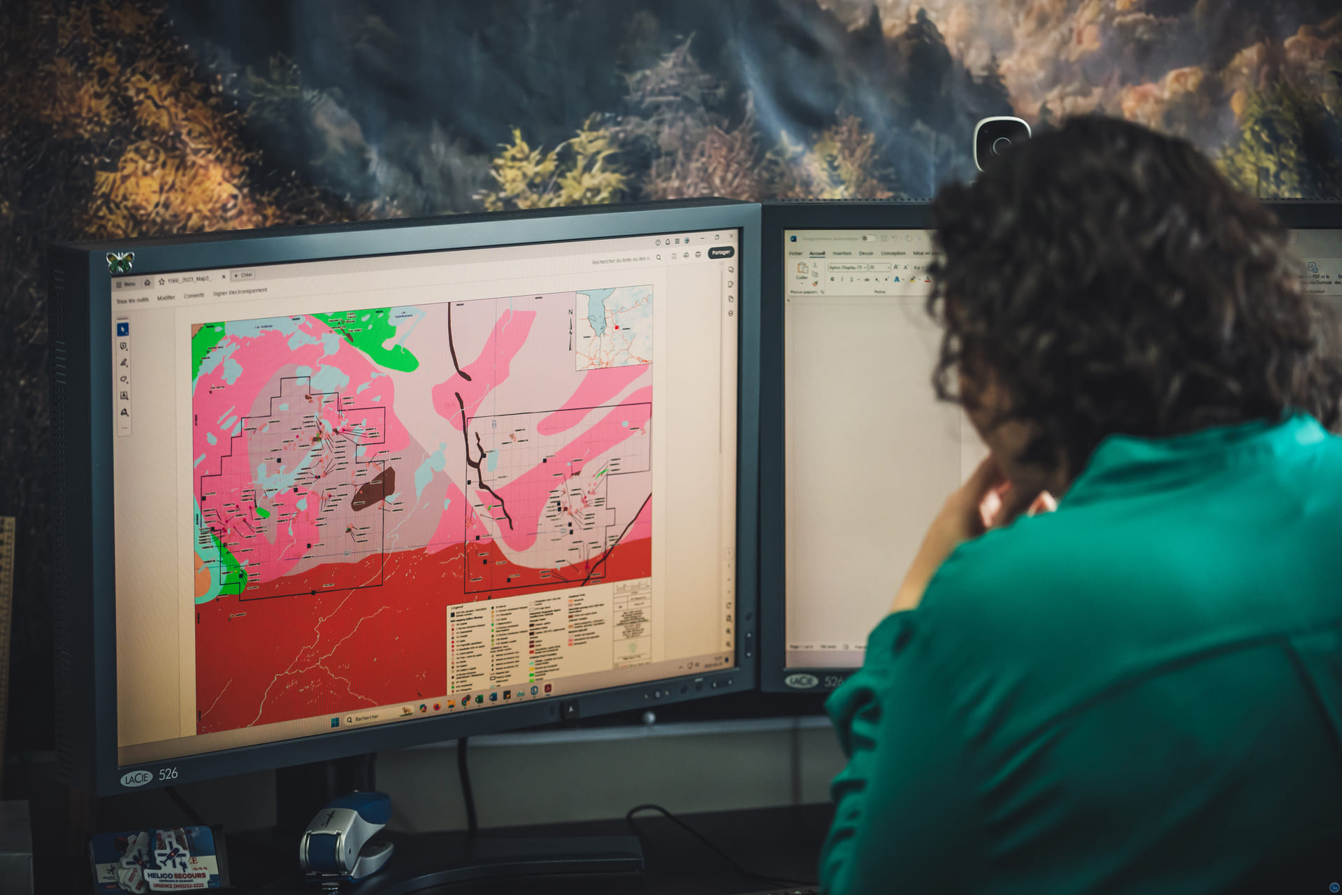
Since then, geomatics has been an integral part of our business. All our field teams use offline Android mobile devices to capture geotagged notes and photos for different types of campaigns. Our geological database managers and qualified staff can also assist you with your compilation work.

Whether for your reports, corporate presentations, or press releases, our team can advise and provide you with accurate, high-quality maps or data, whether using QGIS, GSF GIS, or ArcGIS Pro.